

Solutions
Aerial Surveying and Drones
VTOL mapping drones and payloads for large-area, survey-grade aerial data.
Professional VTOL mapping drones cover large areas quickly with high-accuracy RGB, LiDAR and multispectral data, ideal for mapping, mining, infrastructure and environmental work.
Who uses it
- Surveying firms, mining operators, municipalities, agriculture and environmental agencies.
Applications
- Topographic mapping
- Mining volumes
- Corridor mapping
- Urban planning
- Environmental monitoring
Product families
- Aircraft
- RGB, LiDAR and multispectral payloads
- Software
- Ground equipment and accessories
Products
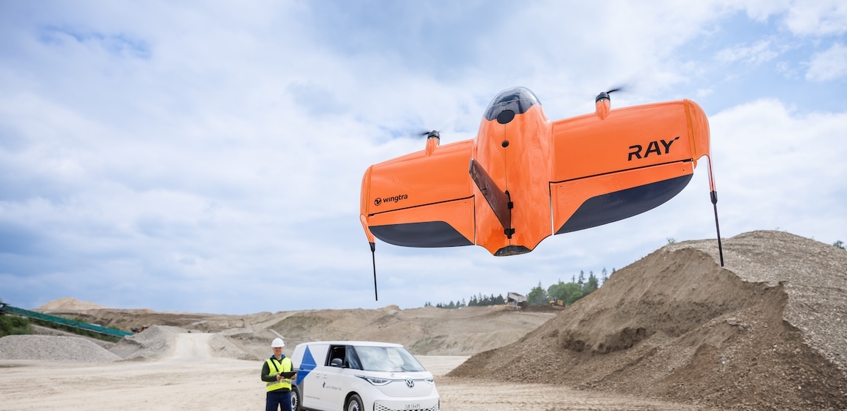
WingtraRAY VTOL Mapping Drone
WingtraRAY is a workflow-first survey and mapping drone built for faster results, confident fieldwork and reliable delivery from planning to delivery. Feel safe and confident, eve
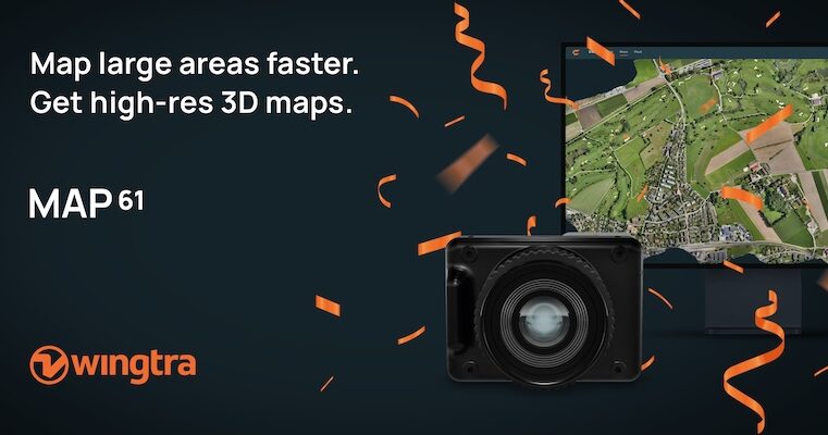
Wingtra MAP61 RGB Mapping Camera
MAP61 is Wingtra’s most efficient sensor and the best 3D mapping camera for high-resolution aerial surveys. It combines the largest coverage per flight with oblique image capture
Wingtra SURVEY61 High-Accuracy Survey Camera
SURVEY61 is Wingtra’s high-accuracy survey camera for WingtraRAY, built for repeatable aerial surveys with fewer GCPs In traditional photogrammetry, Ground Control Points ( GCPs)
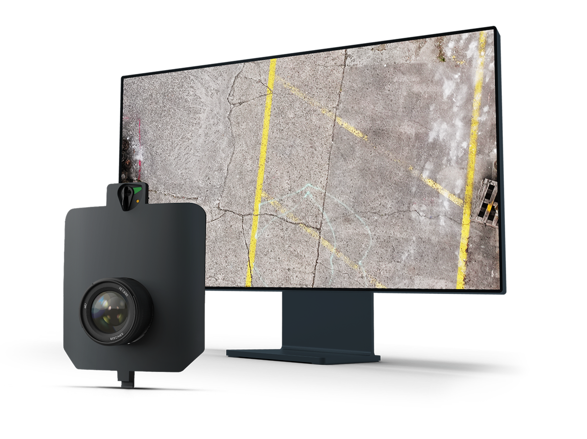
Wingtra INSPECT Inspection Camera
INSPECT is Wingtra’s drone inspection camera for runways, roads, and railways, capturing high-resolution imagery fast for crack detection, reporting, and repeatable infrastructure
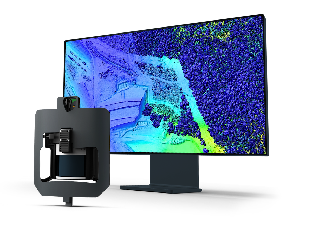
Wingtra LIDAR Sensor
Explore Wingtra LIDAR, a LIDAR drone for surveying and mapping. Capture clean, well-aligned terrain, vegetation and infrastructure data efficiently. Wingtra LIDAR is a LIDAR drone
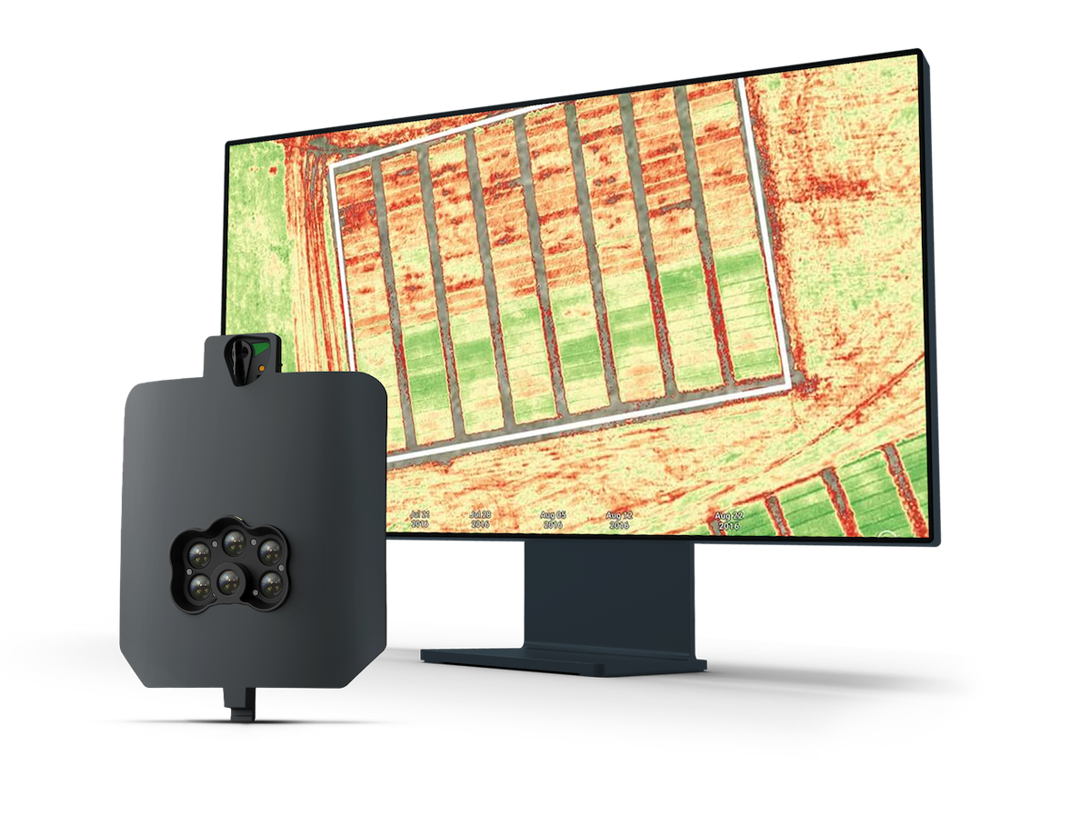
MicaSense RedEdge-P Multispectral Camera
Capture five narrow spectral bands and high-resolution RGB in one flight with the MicaSense RedEdge-P multispectral camera for WingtraRAY. Precision agriculture and environmental
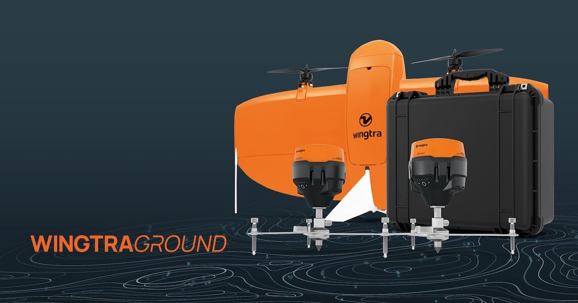
WingtraGROUND GNSS Base Station
WingtraGROUND is a portable GNSS base station for drones that simplifies base setup, checkpoint logging, and automatic data sync for faster high-accuracy survey work. WingtraGROUN
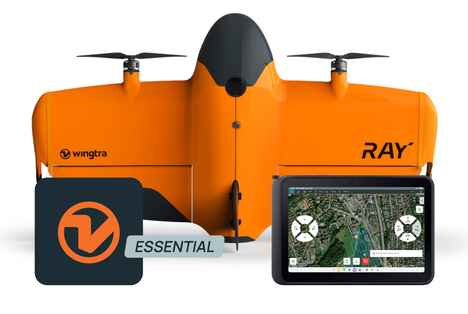
Wingtra Software (WingtraPilot & WingtraHub)
Wingtra drone surveying software helps teams produce clean aerial survey data faster and move it into their existing processing, CAD and GIS workflows. Wingtra drone surveying sof
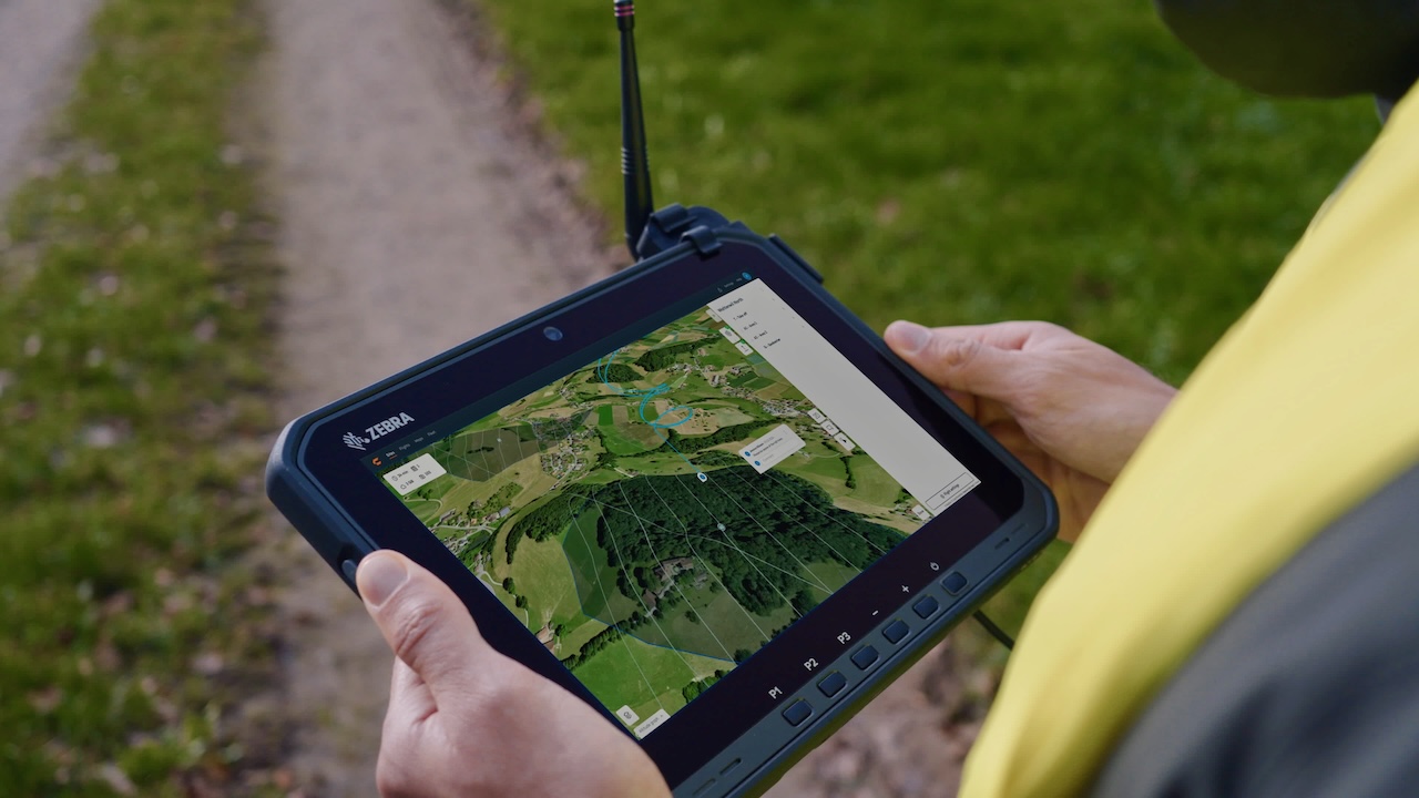
WingtraRAY Premium Tablet
The premium tablet gives you a bigger, brighter screen, longer battery, and better connection—so you can get more done in the field. Make sure you have uninterrupted operations, n
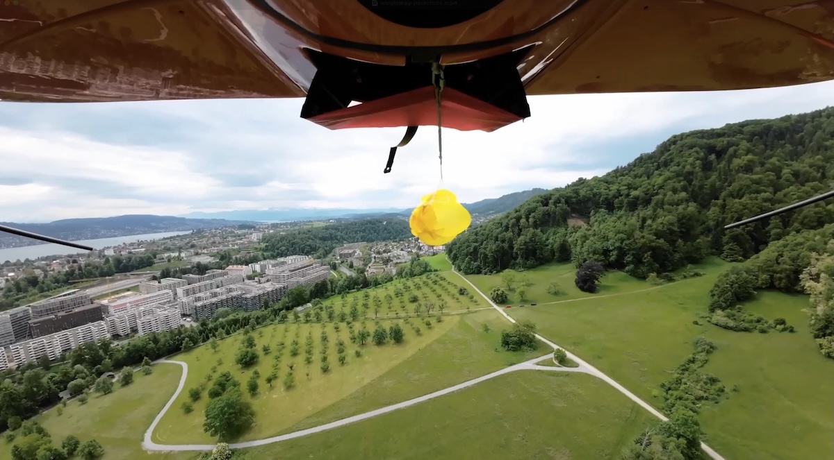
WingtraRAY Parachute Add-on
Expand WingtraRAY survey coverage with the drone parachute add-on built for legal flights over roads and populated areas in the US (FAA Cat.3 OOP) Left: Standard drones Areas in r
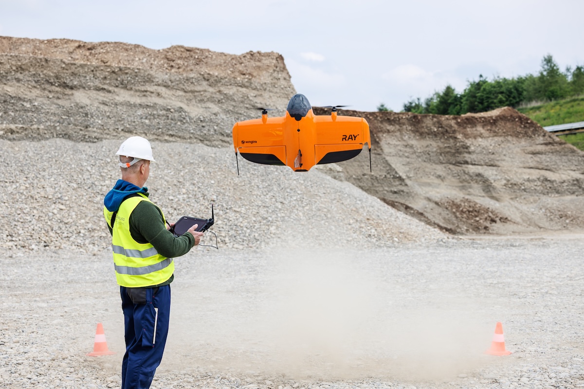
WingtraRAY Heavy Flyer Add-on
All-day flight gear for high-frequency or large-area missions… The Heavy flyer add-on gives your field team the equipment needed to complete more WingtraRAY flights with fewer int
WingtraRAY Sensor Upgrade Mount
Move to WingtraRAY while keeping the WingtraOne sensors you know and trust.