
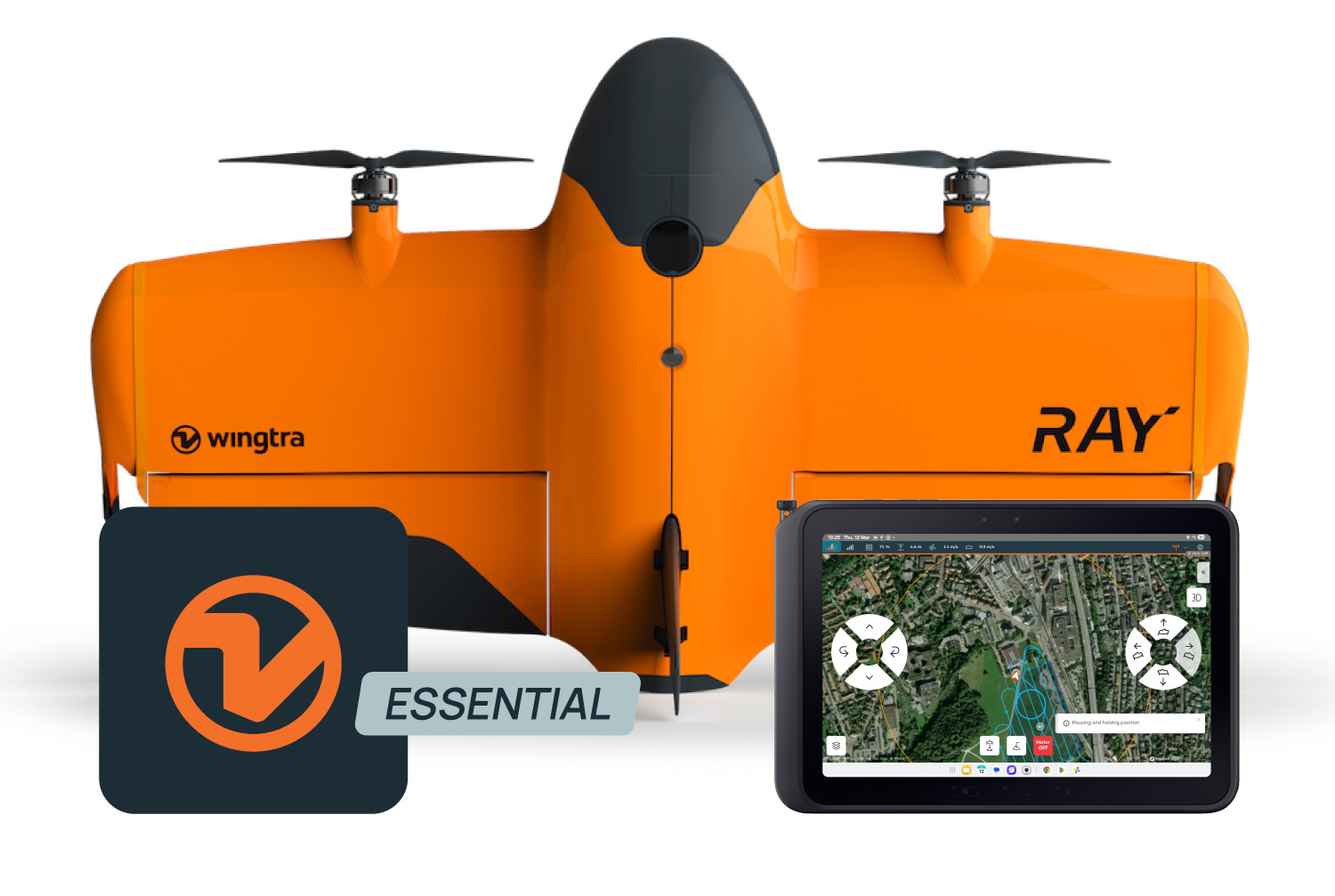
Wingtra Software (WingtraPilot & WingtraHub)
- Model
- Wingtra software
- Category
- Software
- Solutions
- Aerial Surveying and Drones
Wingtra drone surveying software helps teams produce clean aerial survey data faster and move it into their existing processing, CAD and GIS workflows. Wingtra drone surveying software helps teams produce clean aerial survey data faster and move it into their existing processing , CAD and GIS workflows.
Overview
Wingtra drone surveying software helps teams produce clean aerial survey data faster and move it into their existing processing, CAD and GIS workflows. Wingtra drone surveying software helps teams produce clean aerial survey data faster and move it into their existing processing , CAD and GIS workflows.
Applications: Topographic mapping · Mining volumes · Corridor mapping · Urban planning · Environmental monitoring
Key capabilities
- Synced and reviewed flight plans on any connected device.
- High-resolution images
- GNSS data from WingtraGROUND, a base station or CORS network
- EXIF-geotagged images (WGS84)
- Images and CSV geotags (WGS84 or in your selected coordinate systems)
- Orthomosaic TIFF
- Point cloud LAZ
- 3D mesh OBJ
Technical specifications
Solutions
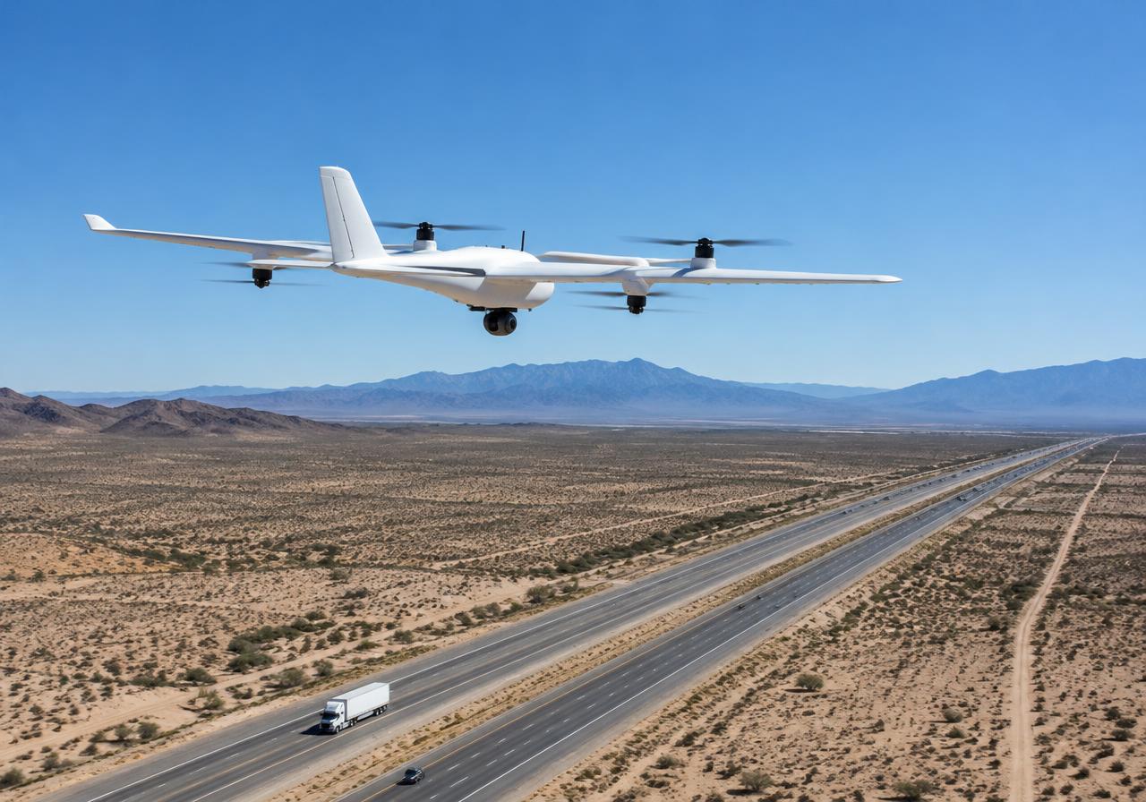
Aerial Surveying and Drones
VTOL mapping drones and payloads for large-area, survey-grade aerial data.
Related products
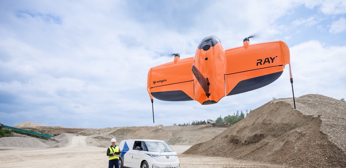
WingtraRAY VTOL Mapping Drone
WingtraRAY is a workflow-first survey and mapping drone built for faster results, confident fieldwork and reliable delivery from planning to delivery. Feel safe and confident, eve
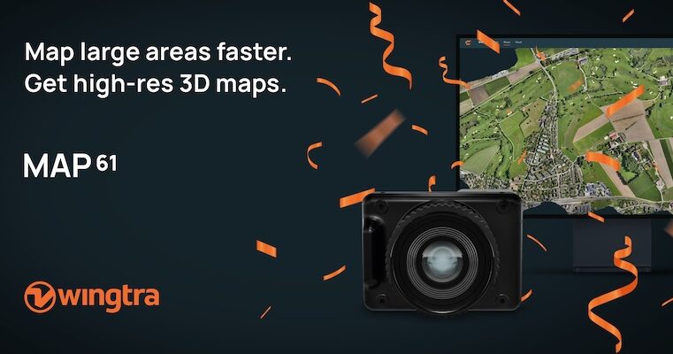
Wingtra MAP61 RGB Mapping Camera
MAP61 is Wingtra’s most efficient sensor and the best 3D mapping camera for high-resolution aerial surveys. It combines the largest coverage per flight with oblique image capture
Wingtra SURVEY61 High-Accuracy Survey Camera
SURVEY61 is Wingtra’s high-accuracy survey camera for WingtraRAY, built for repeatable aerial surveys with fewer GCPs In traditional photogrammetry, Ground Control Points ( GCPs)
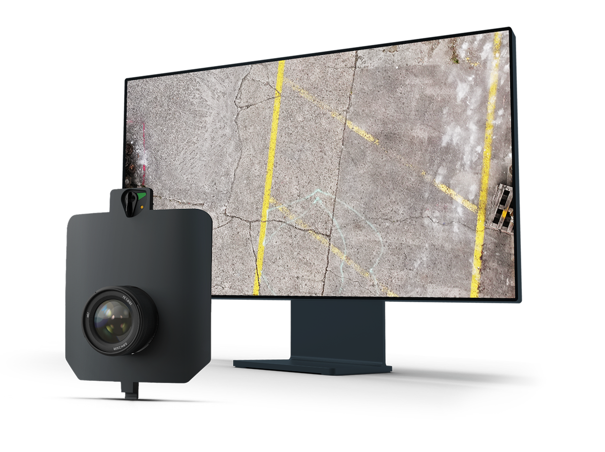
Wingtra INSPECT Inspection Camera
INSPECT is Wingtra’s drone inspection camera for runways, roads, and railways, capturing high-resolution imagery fast for crack detection, reporting, and repeatable infrastructure