
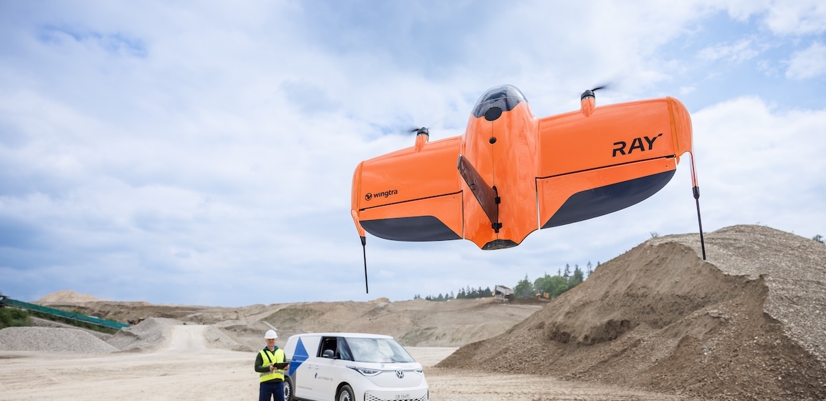
WingtraRAY VTOL Mapping Drone
- Model
- WingtraRAY
- Category
- Aircraft
- Solutions
- Aerial Surveying and Drones
WingtraRAY is a workflow-first survey and mapping drone built for faster results, confident fieldwork and reliable delivery from planning to delivery. Feel safe and confident, even over roads and populated areas 5 (Enabled by the parachute add-on. Approvals vary by region)
Overview
WingtraRAY is a workflow-first survey and mapping drone built for faster results, confident fieldwork and reliable delivery from planning to delivery. Feel safe and confident, even over roads and populated areas 5 (Enabled by the parachute add-on. Approvals vary by region)
Applications: Topographic mapping · Mining volumes · Corridor mapping · Urban planning · Environmental monitoring
Key capabilities
- Sync across devices—or run the full workflow on device without cloud upload 10
- Plan and monitor flights in a 2D map view
- Use offline maps for flight planning
- Automated flights with WingtraRAY (All sensors supported)
- Terrain following, pause and resume, and return to home (RTH)
- Geotag in global coordinate systems (WGS84, NAD83)
- Plan and monitor flights in a 3D terrain view
- Import custom terrain, obstacles, regulatory data, WMS, and 3D building layers
Technical specifications
Downloads
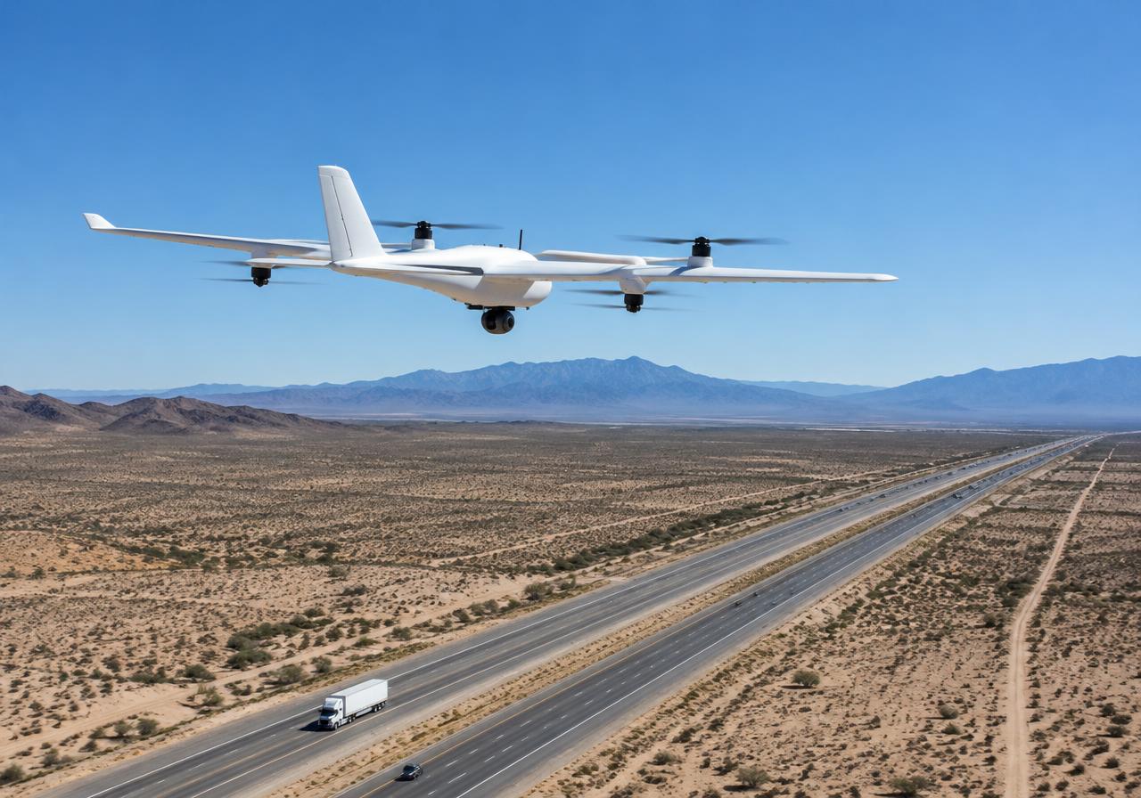
Solutions
Aerial Surveying and Drones
VTOL mapping drones and payloads for large-area, survey-grade aerial data.
Related products
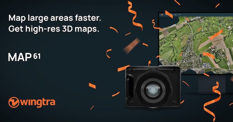
Wingtra MAP61 RGB Mapping Camera
MAP61 is Wingtra’s most efficient sensor and the best 3D mapping camera for high-resolution aerial surveys. It combines the largest coverage per flight with oblique image capture
Wingtra SURVEY61 High-Accuracy Survey Camera
SURVEY61 is Wingtra’s high-accuracy survey camera for WingtraRAY, built for repeatable aerial surveys with fewer GCPs In traditional photogrammetry, Ground Control Points ( GCPs)
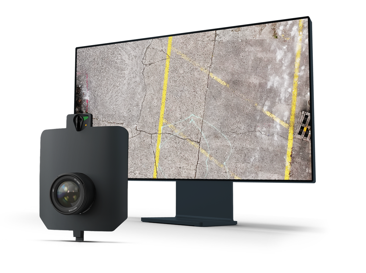
Wingtra INSPECT Inspection Camera
INSPECT is Wingtra’s drone inspection camera for runways, roads, and railways, capturing high-resolution imagery fast for crack detection, reporting, and repeatable infrastructure
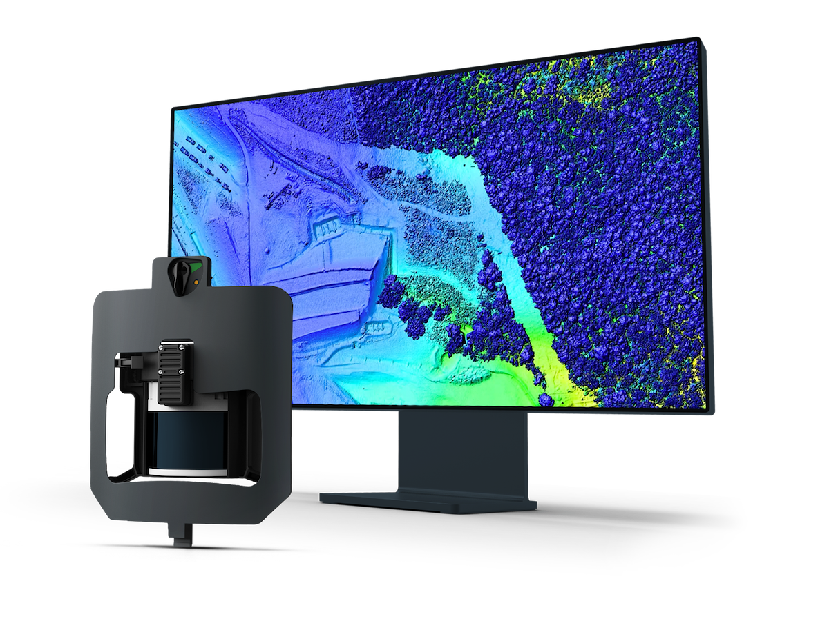
Wingtra LIDAR Sensor
Explore Wingtra LIDAR, a LIDAR drone for surveying and mapping. Capture clean, well-aligned terrain, vegetation and infrastructure data efficiently. Wingtra LIDAR is a LIDAR drone