
Products
Product catalogue
671 products from seven leading manufacturers. Filter by solution, brand, type or technology.
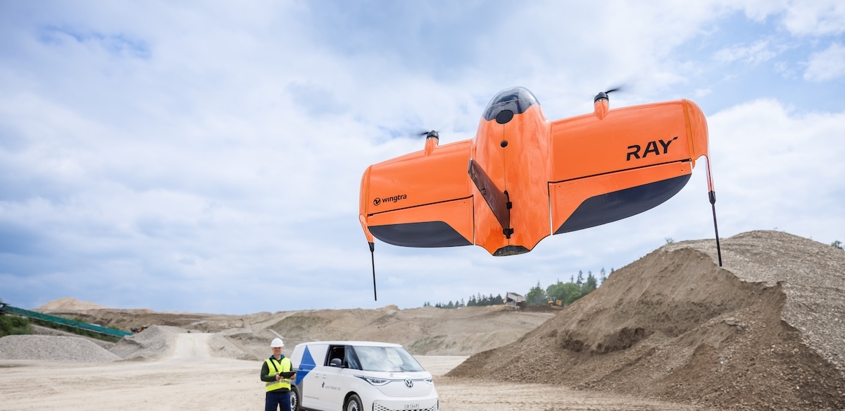
WingtraRAY VTOL Mapping Drone
WingtraRAY is a workflow-first survey and mapping drone built for faster results, confident fieldwork and reliable delivery from planning to delivery. Feel safe and confident, eve
Wingtra SURVEY61 High-Accuracy Survey Camera
SURVEY61 is Wingtra’s high-accuracy survey camera for WingtraRAY, built for repeatable aerial surveys with fewer GCPs In traditional photogrammetry, Ground Control Points ( GCPs)
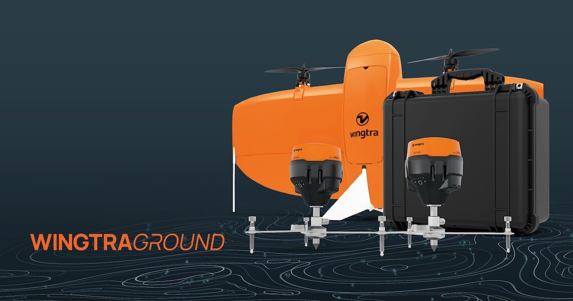
WingtraGROUND GNSS Base Station
WingtraGROUND is a portable GNSS base station for drones that simplifies base setup, checkpoint logging, and automatic data sync for faster high-accuracy survey work. WingtraGROUN
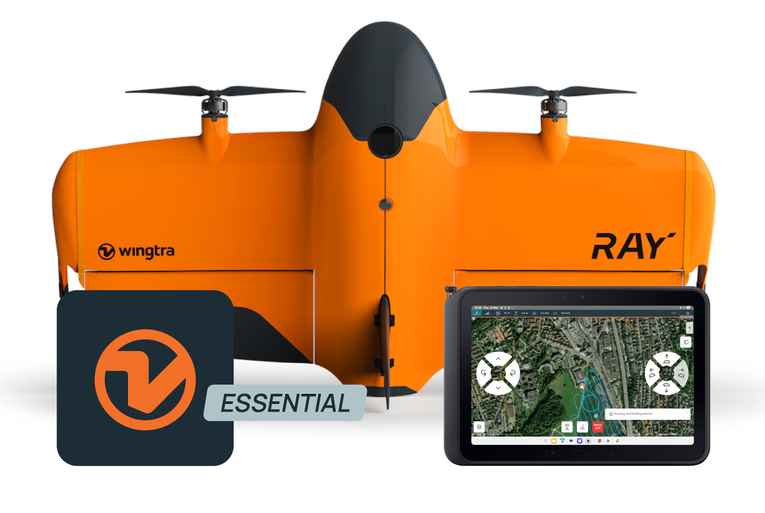
Wingtra Software (WingtraPilot & WingtraHub)
Wingtra drone surveying software helps teams produce clean aerial survey data faster and move it into their existing processing, CAD and GIS workflows. Wingtra drone surveying sof