
Authorized technology partner · KSA
Precision technology for the people who measure, build and inspect.
Zan brings seven world-class manufacturers into one catalogue — surveying, 3D scanning, aerial mapping, materials testing, industrial metrology and infrastructure inspection — with local demos, training and support across the Kingdom.
- 1500+
- Satisfied clients
- 100+
- Projects delivered
- 20+
- Years of experience
Solutions
Six areas of expertise
01Surveying and Positioning
Total stations, GNSS, levels and lasers for accurate field measurement and layout.
 02
3D Scanning and Reality Capture
Mobile, handheld and terrestrial scanners that turn real spaces into accurate point clouds.
 03
Aerial Surveying and Drones
VTOL mapping drones and payloads for large-area, survey-grade aerial data.
 04
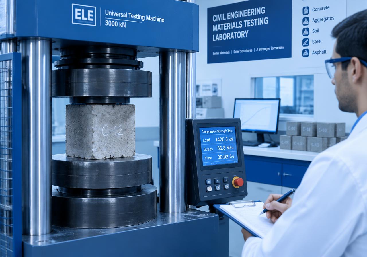
Materials Testing and Laboratory Equipment
Laboratory and field equipment for testing soil, concrete, cement, aggregates and asphalt.
 05
Industrial Metrology and Quality Inspection
Laser trackers, measuring arms, laser radar, X-ray CT and optical measuring for manufacturing quality.
 06
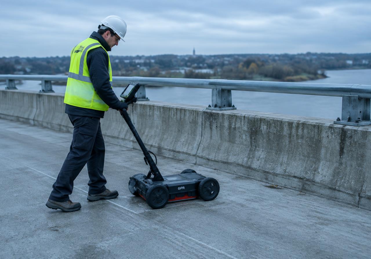
Concrete and Infrastructure Inspection
Non-destructive testing with GPR, rebar detection, rebound and ultrasonic instruments.
Brands
Seven manufacturers. One partner.
Precision positioning
49 products
Professional VTOL mapping drones
12 products
Mobile mapping and reality capture
6 products
Materials testing equipment
545 products
Dimensional measurement and calibration
10 products
Industrial metrology and inspection
17 products
Non-destructive testing
32 products
Products671 productsFeatured
Featured equipment
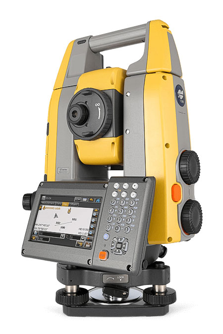
Topcon GT-1200/600
Site and field survey, layout, grade checking, staking, machine control, hybrid. Robotic total stations help measure distances and angles for a variety of projects, such as constru
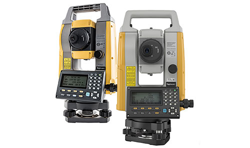
Topcon GM-50/GM-60
Cost-effective surveying and layout. Manual total stations help surveyors, engineers, and construction workers measure distances and angles for a variety of projects, such as const
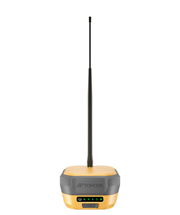
Topcon HiPer XR
Premium all-in-one GNSS receiver for high-performance field positioning. GPS or GNSS receivers for base and rover setup. Ideal for survey applications, construction site layout/sta
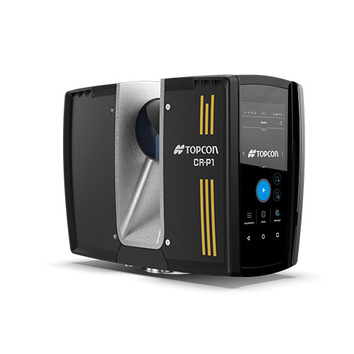
Topcon CR-P1
Compact and lightweight High-performance scanner. Get the best 3D laser scanner for your needs. Our scanning solutions are perfect for construction verification, surveying, and mor
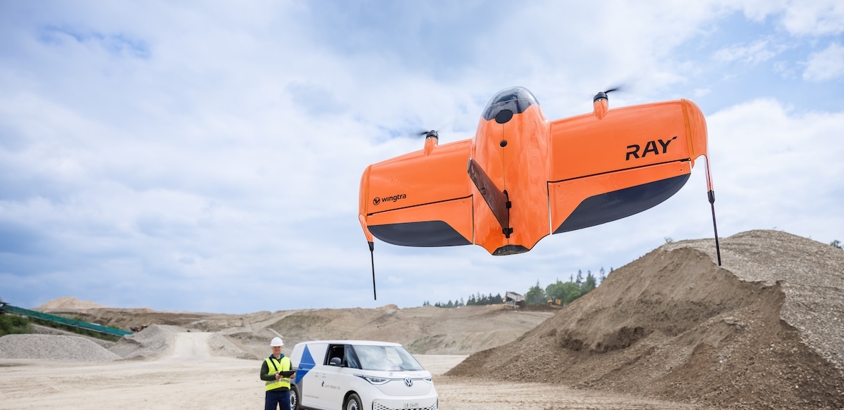
WingtraRAY VTOL Mapping Drone
WingtraRAY is a workflow-first survey and mapping drone built for faster results, confident fieldwork and reliable delivery from planning to delivery. Feel safe and confident, eve
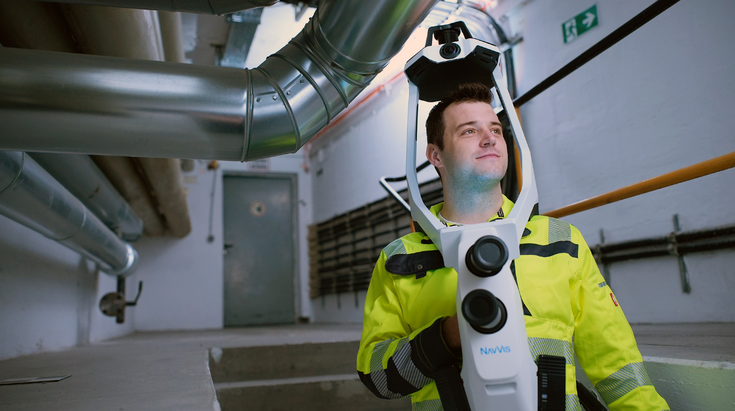
NavVis VLX 4 Wearable Mobile Scanner
NavVis VLX 4 is the first wearable reality capture device built for projects that need high-detail data. NavVis VLX 4 is the first dynamic reality capture device built for project

NavVis IVION
A platform that transforms reality capture data into clear, collaborative digital spaces that everyone can access, understand, and act on. A platform that transforms high-precisio

API Radian Laser Tracker
API's Laser Tracker is a precision measurement tool with laser interferometry that can measure long distances in 3D accurately. For key industries, API Metrology’s Radian Laser Tr
Services & Support
Why Zan
24H Post-sales Support
Fast technical support and warranty handling from our local team.
Pre-sales Demonstrations
On-site and in-office demos so you can see the equipment perform on your own projects.
Training
Post-sales training that gets your team productive with new instruments and software.
Repair and Warranty
Certified handling of repairs and warranty claims for the products we supply.
Certified Supply
Certified supplier for all our products, with genuine equipment and accessories.
Clients & Projects
Trusted across the Kingdom
See it working on your own project.
Book a demonstration with our technical team or request a tailored quote.