
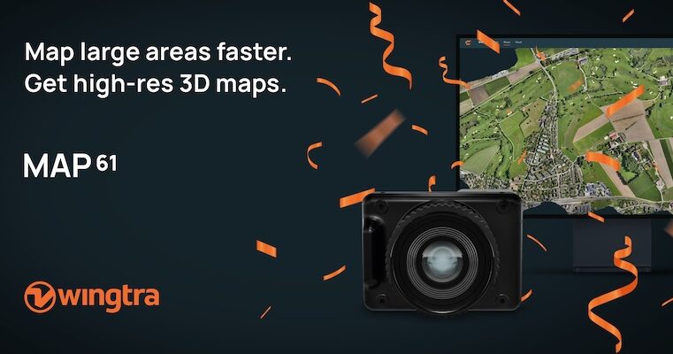
Wingtra MAP61 RGB Mapping Camera
- Model
- MAP61
- Category
- RGB payloads
- Solutions
- Aerial Surveying and Drones
MAP61 is Wingtra’s most efficient sensor and the best 3D mapping camera for high-resolution aerial surveys. It combines the largest coverage per flight with oblique image capture for detailed 3D reconstruction .
Overview
MAP61 is Wingtra’s most efficient sensor and the best 3D mapping camera for high-resolution aerial surveys. It combines the largest coverage per flight with oblique image capture for detailed 3D reconstruction .
Applications: Topographic mapping · Mining volumes · Corridor mapping · Urban planning · Environmental monitoring
Technical specifications

Solutions
Aerial Surveying and Drones
VTOL mapping drones and payloads for large-area, survey-grade aerial data.
Related products
Wingtra SURVEY61 High-Accuracy Survey Camera
SURVEY61 is Wingtra’s high-accuracy survey camera for WingtraRAY, built for repeatable aerial surveys with fewer GCPs In traditional photogrammetry, Ground Control Points ( GCPs)
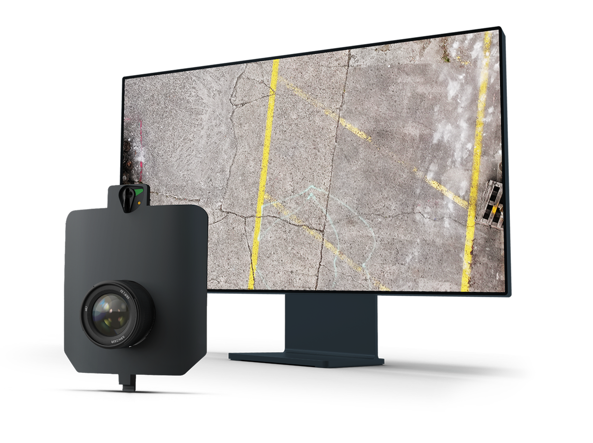
Wingtra INSPECT Inspection Camera
INSPECT is Wingtra’s drone inspection camera for runways, roads, and railways, capturing high-resolution imagery fast for crack detection, reporting, and repeatable infrastructure
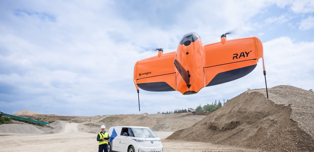
WingtraRAY VTOL Mapping Drone
WingtraRAY is a workflow-first survey and mapping drone built for faster results, confident fieldwork and reliable delivery from planning to delivery. Feel safe and confident, eve
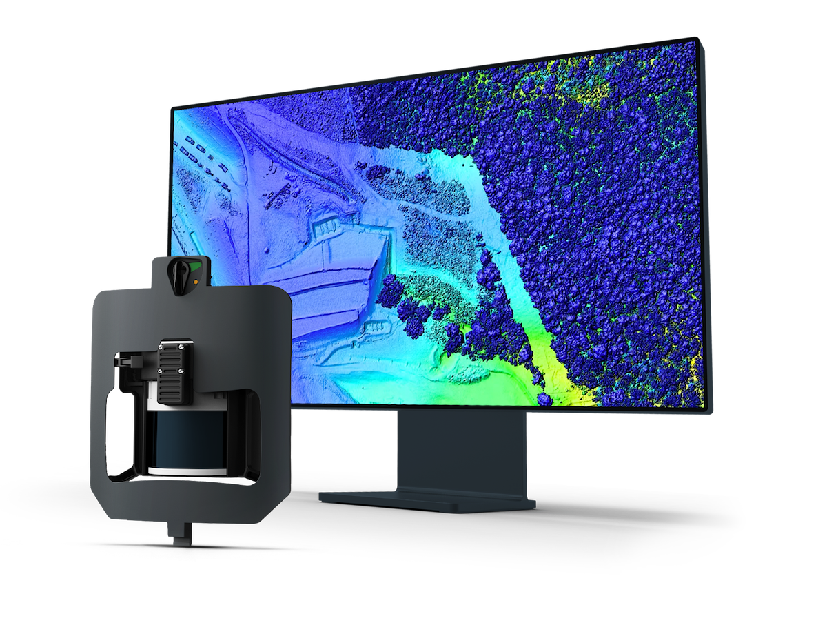
Wingtra LIDAR Sensor
Explore Wingtra LIDAR, a LIDAR drone for surveying and mapping. Capture clean, well-aligned terrain, vegetation and infrastructure data efficiently. Wingtra LIDAR is a LIDAR drone