
Products
Product catalogue
671 products from seven leading manufacturers. Filter by solution, brand, type or technology.
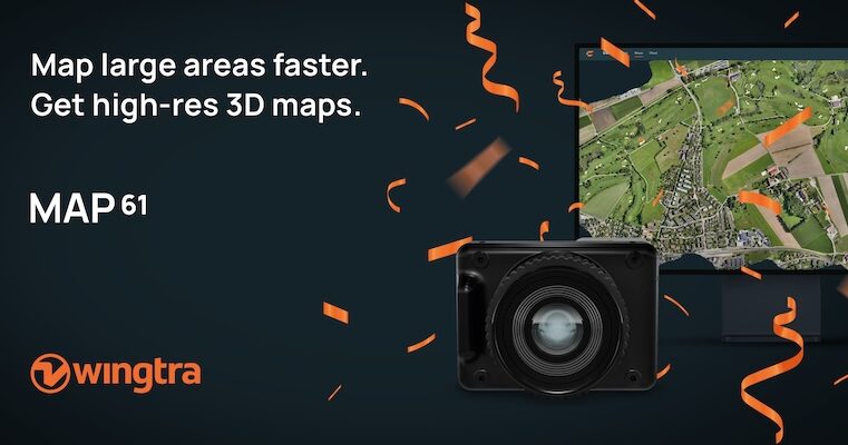
Wingtra MAP61 RGB Mapping Camera
MAP61 is Wingtra’s most efficient sensor and the best 3D mapping camera for high-resolution aerial surveys. It combines the largest coverage per flight with oblique image capture
Wingtra SURVEY61 High-Accuracy Survey Camera
SURVEY61 is Wingtra’s high-accuracy survey camera for WingtraRAY, built for repeatable aerial surveys with fewer GCPs In traditional photogrammetry, Ground Control Points ( GCPs)
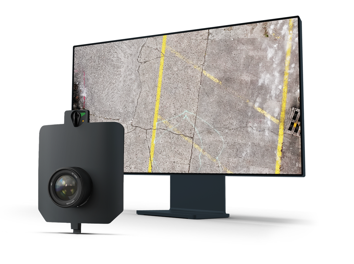
Wingtra INSPECT Inspection Camera
INSPECT is Wingtra’s drone inspection camera for runways, roads, and railways, capturing high-resolution imagery fast for crack detection, reporting, and repeatable infrastructure
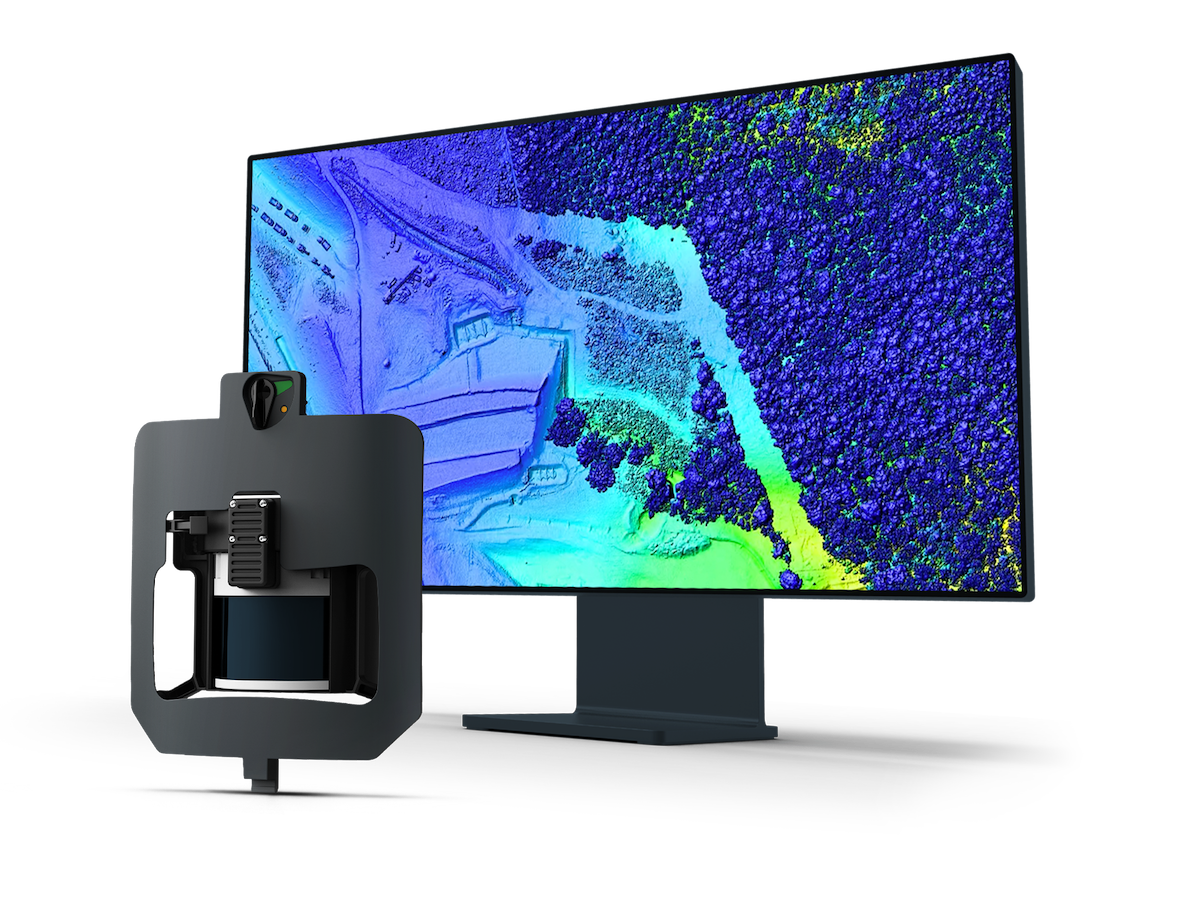
Wingtra LIDAR Sensor
Explore Wingtra LIDAR, a LIDAR drone for surveying and mapping. Capture clean, well-aligned terrain, vegetation and infrastructure data efficiently. Wingtra LIDAR is a LIDAR drone
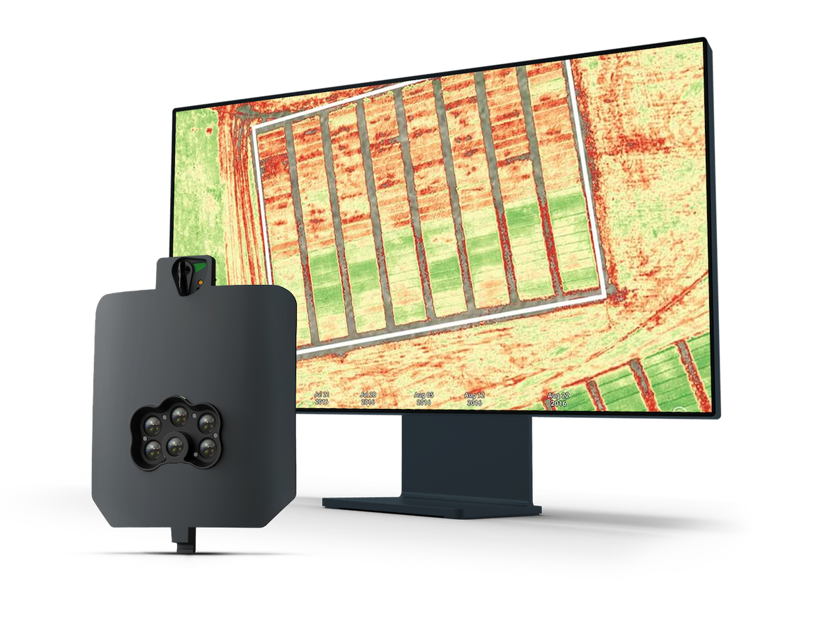
MicaSense RedEdge-P Multispectral Camera
Capture five narrow spectral bands and high-resolution RGB in one flight with the MicaSense RedEdge-P multispectral camera for WingtraRAY. Precision agriculture and environmental