
WingtraRAY Sensor Upgrade Mount
- Model
- Sensor upgrade mount
- Category
- Ground equipment and accessories
- Solutions
- Aerial Surveying and Drones
Move to WingtraRAY while keeping the WingtraOne sensors you know and trust.
Overview
Move to WingtraRAY while keeping the WingtraOne sensors you know and trust.
Applications: Topographic mapping · Mining volumes · Corridor mapping · Urban planning · Environmental monitoring
Technical specifications

Solutions
Aerial Surveying and Drones
VTOL mapping drones and payloads for large-area, survey-grade aerial data.
Related products
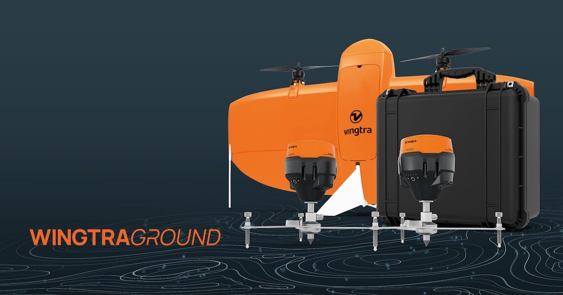
WingtraGROUND GNSS Base Station
WingtraGROUND is a portable GNSS base station for drones that simplifies base setup, checkpoint logging, and automatic data sync for faster high-accuracy survey work. WingtraGROUN
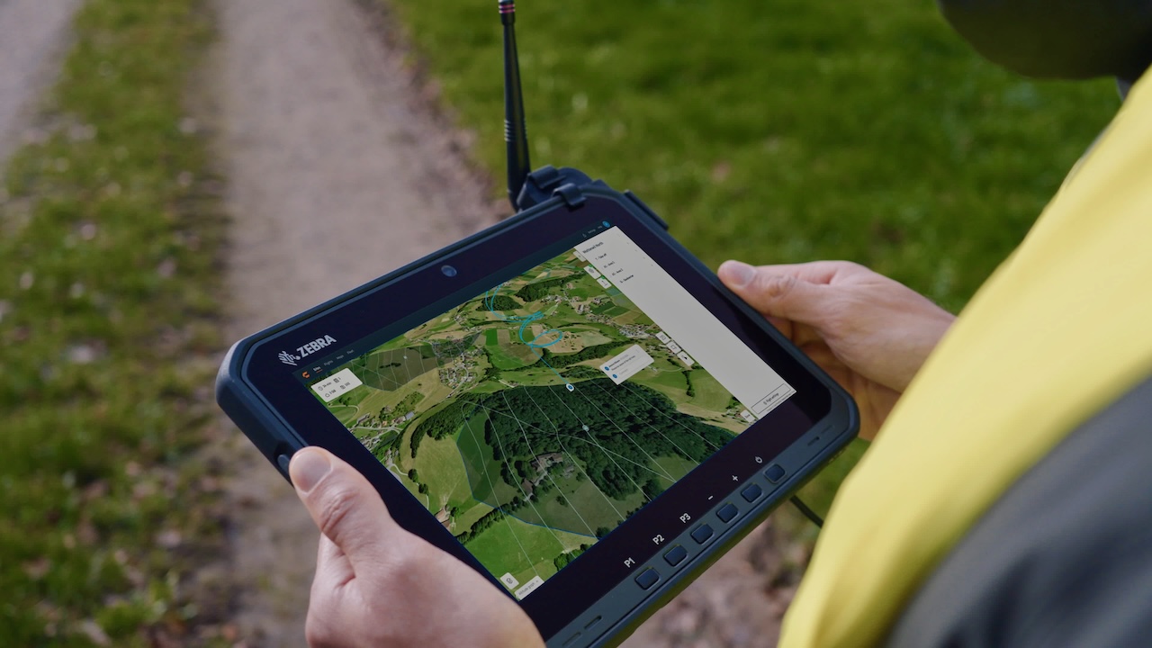
WingtraRAY Premium Tablet
The premium tablet gives you a bigger, brighter screen, longer battery, and better connection—so you can get more done in the field. Make sure you have uninterrupted operations, n
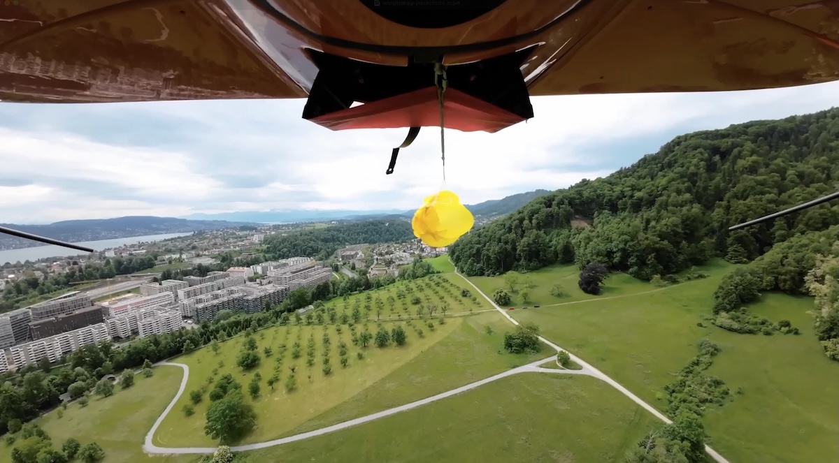
WingtraRAY Parachute Add-on
Expand WingtraRAY survey coverage with the drone parachute add-on built for legal flights over roads and populated areas in the US (FAA Cat.3 OOP) Left: Standard drones Areas in r
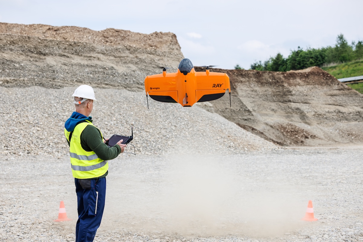
WingtraRAY Heavy Flyer Add-on
All-day flight gear for high-frequency or large-area missions… The Heavy flyer add-on gives your field team the equipment needed to complete more WingtraRAY flights with fewer int