
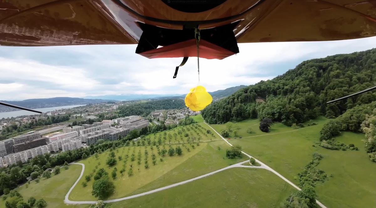
WingtraRAY Parachute Add-on
- Model
- Parachute
- Category
- Ground equipment and accessories
- Solutions
- Aerial Surveying and Drones
Expand WingtraRAY survey coverage with the drone parachute add-on built for legal flights over roads and populated areas in the US (FAA Cat.3 OOP) Left: Standard drones Areas in red are off-limits for commercial drone flights without a lengthy waiver process. These include roads, dense population zones, and sensitive infrastructure.
Overview
Expand WingtraRAY survey coverage with the drone parachute add-on built for legal flights over roads and populated areas in the US (FAA Cat.3 OOP) Left: Standard drones Areas in red are off-limits for commercial drone flights without a lengthy waiver process. These include roads, dense population zones, and sensitive infrastructure.
Applications: Topographic mapping · Mining volumes · Corridor mapping · Urban planning · Environmental monitoring
Key capabilities
- Deploys automatically if other systems fail
- Manual trigger available for pilot-initiated safety
- Mounts in minutes with 4 screws
- Compliant hardware for 3 years. After that, a parachute service is required to stay compliant for 3 more years.
Technical specifications
Downloads

Solutions
Aerial Surveying and Drones
VTOL mapping drones and payloads for large-area, survey-grade aerial data.
Related products
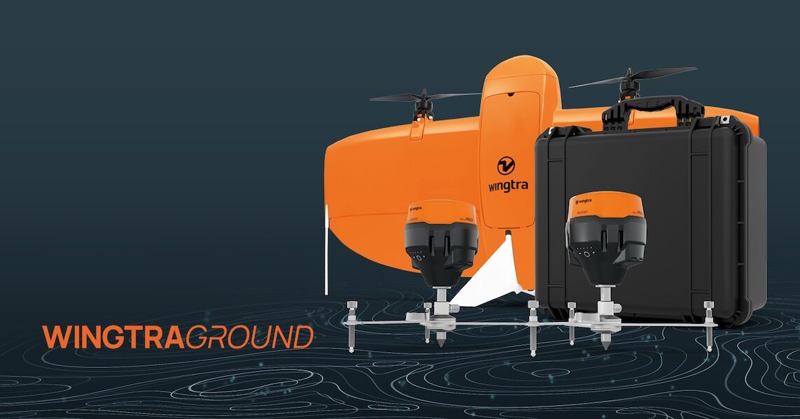
WingtraGROUND GNSS Base Station
WingtraGROUND is a portable GNSS base station for drones that simplifies base setup, checkpoint logging, and automatic data sync for faster high-accuracy survey work. WingtraGROUN
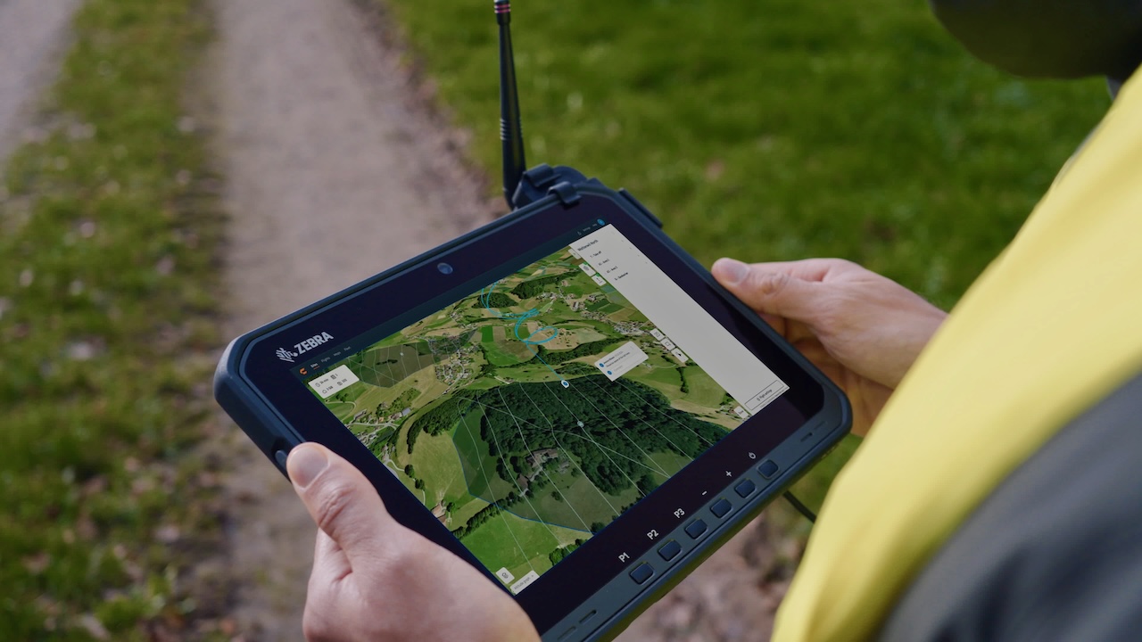
WingtraRAY Premium Tablet
The premium tablet gives you a bigger, brighter screen, longer battery, and better connection—so you can get more done in the field. Make sure you have uninterrupted operations, n
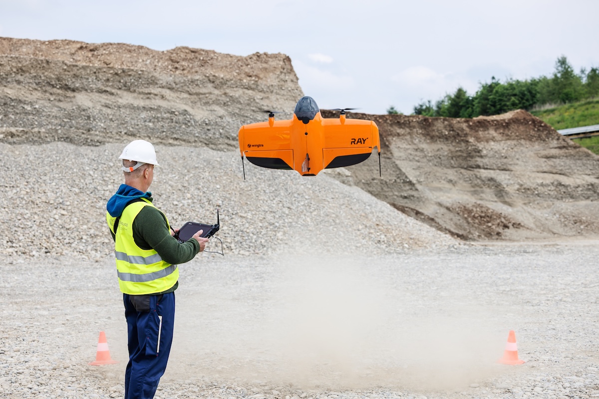
WingtraRAY Heavy Flyer Add-on
All-day flight gear for high-frequency or large-area missions… The Heavy flyer add-on gives your field team the equipment needed to complete more WingtraRAY flights with fewer int
WingtraRAY Sensor Upgrade Mount
Move to WingtraRAY while keeping the WingtraOne sensors you know and trust.