
Overview
Field software for surveying and construction: data collection, stakeout, cadastral projects, construction layout and utility mapping with real-time collaboration.
Technical specifications
Related products
Topcon MAGNET Office
Office software that merges plans and survey data into digital deliverables for surveying and construction.
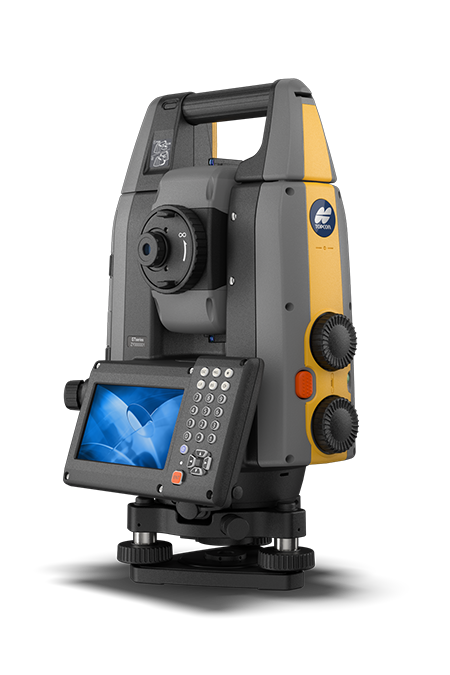
Topcon GT-1500/700
Field and site survey, layout, grade checking, staking, hybrid. Robotic total stations help measure distances and angles for a variety of projects, such as construction, mapping, e
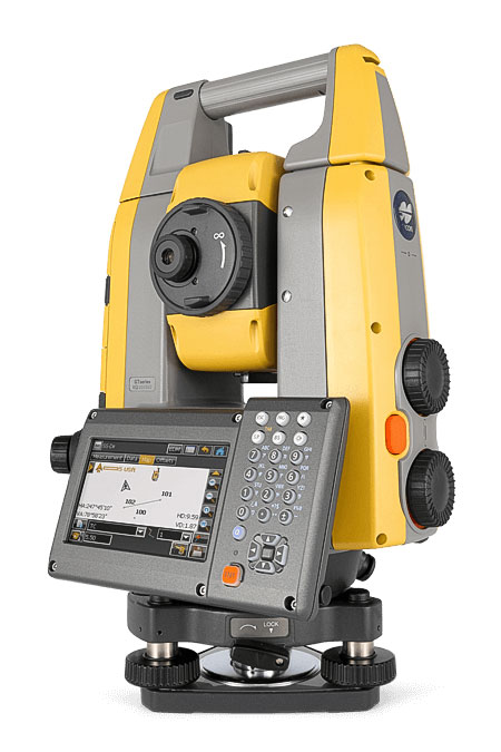
Topcon GT-1200/600
Site and field survey, layout, grade checking, staking, machine control, hybrid. Robotic total stations help measure distances and angles for a variety of projects, such as constru
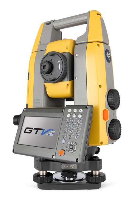
Topcon GT-600V
Building contractor layout and field measurements, hybrid. Robotic total stations help measure distances and angles for a variety of projects, such as construction, mapping, engine