
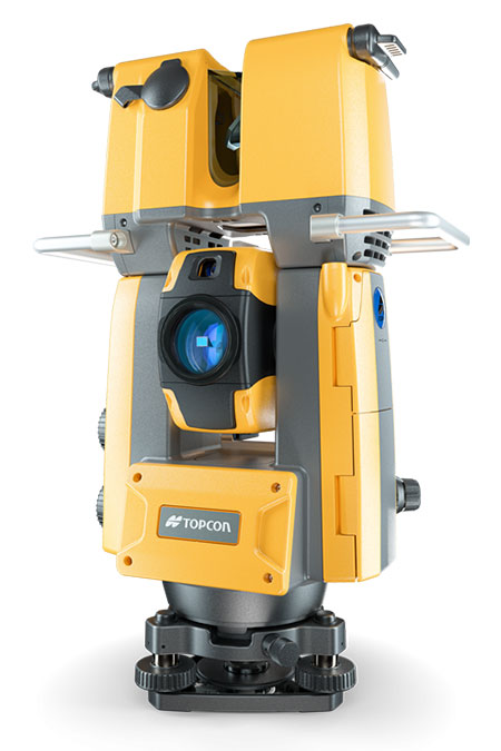
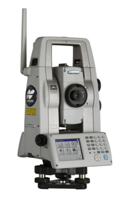
Topcon GTL-1200
- Model
- GTL-1200
- Category
- Robotic total stations
Construction verification, scanning, site and field survey, layout, staking, hybrid. Robotic total stations help measure distances and angles for a variety of projects, such as construction, mapping, engineering, and land surveying. These instruments can also interact with machine control platforms to provide precision 3D operation, even when satellite signals are not an option.
Overview
Construction verification, scanning, site and field survey, layout, staking, hybrid. Robotic total stations help measure distances and angles for a variety of projects, such as construction, mapping, engineering, and land surveying. These instruments can also interact with machine control platforms to provide precision 3D operation, even when satellite signals are not an option.
Technical specifications
| Ideal uses | Construction verification, scanning, site and field survey, layout, staking, hybrid |
|---|---|
| Distance - prism | 6000 m |
| Distance non-prism | 1000 m |
| Angle Accuracy | 2”, 3” |
Downloads
Related products
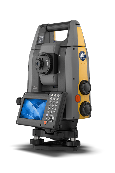
Topcon GT-1500/700
Field and site survey, layout, grade checking, staking, hybrid. Robotic total stations help measure distances and angles for a variety of projects, such as construction, mapping, e
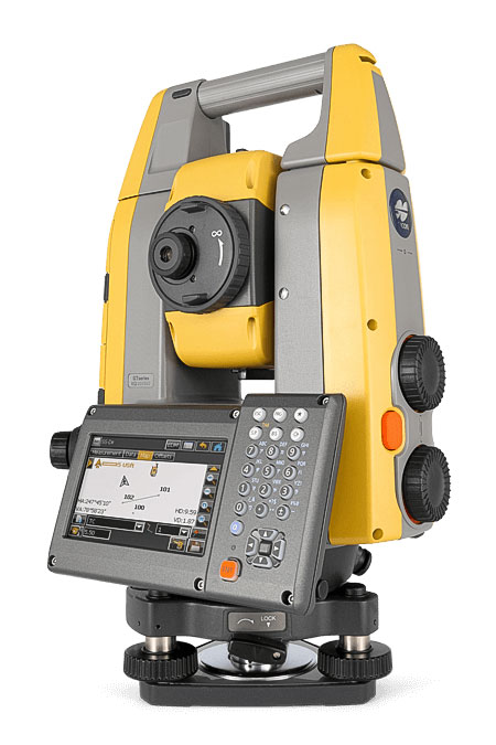
Topcon GT-1200/600
Site and field survey, layout, grade checking, staking, machine control, hybrid. Robotic total stations help measure distances and angles for a variety of projects, such as constru
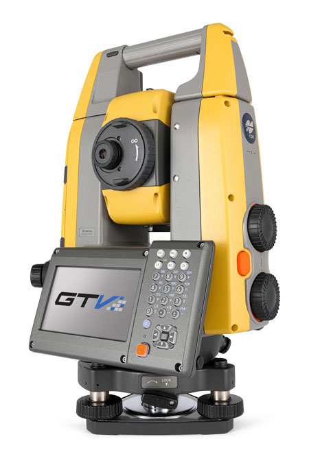
Topcon GT-600V
Building contractor layout and field measurements, hybrid. Robotic total stations help measure distances and angles for a variety of projects, such as construction, mapping, engine
Topcon MS AXII
Monitoring, highest accuracy site and field survey, staking, layout, hybrid. Robotic total stations help measure distances and angles for a variety of projects, such as constructio