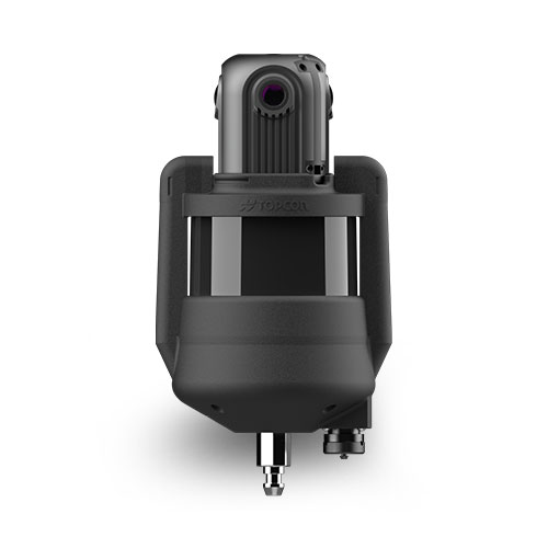
Topcon CR-M1
- Model
- CR-M1
- Category
- Terrestrial scanners
- Solutions
- 3D Scanning and Reality Capture
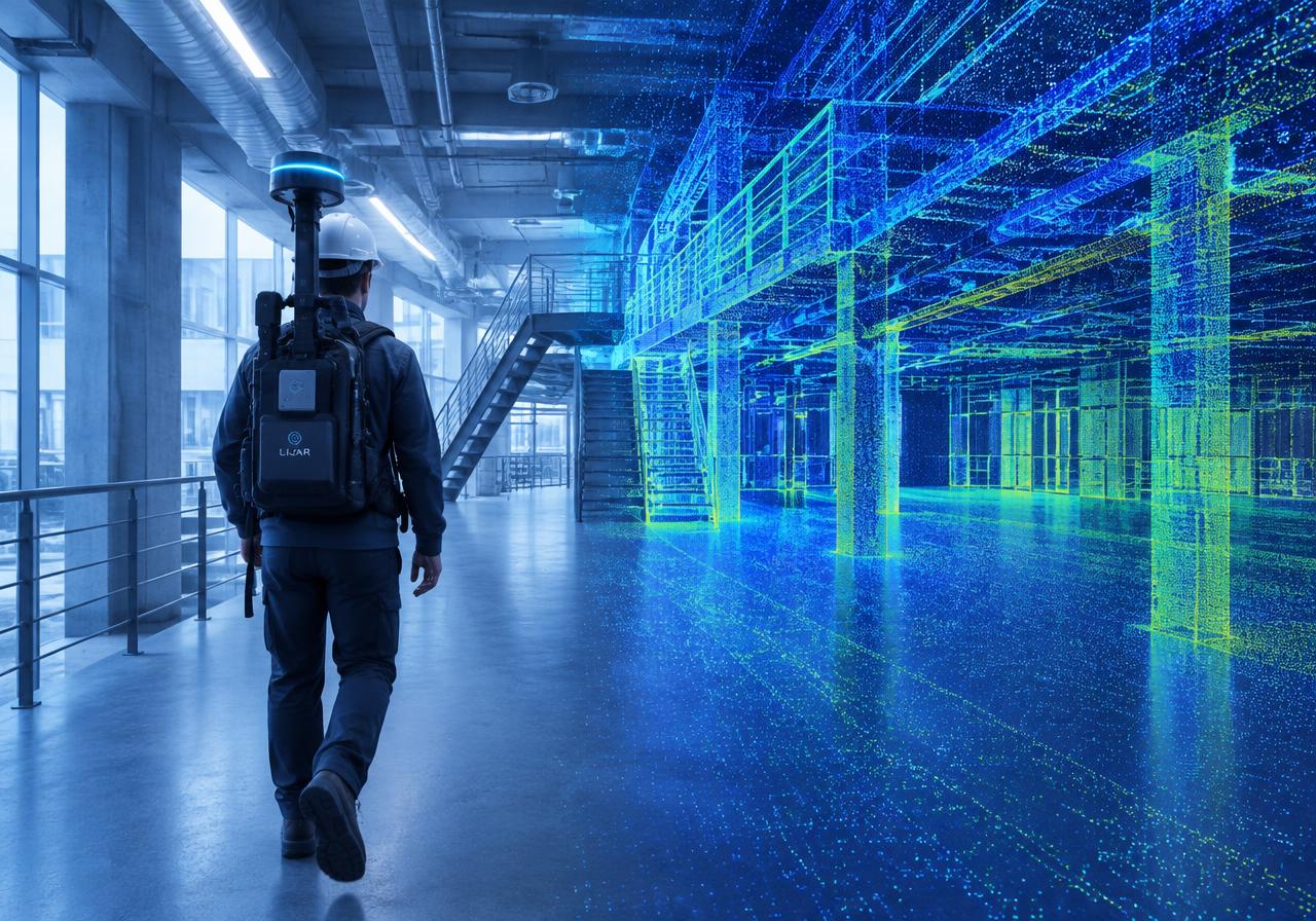
Compact and handy versatile multi-sensor mapping system for use with a backpack, on a pole or tip, or even on a vehicle. Get the best 3D laser scanner for your needs. Our scanning solutions are perfect for construction verification, surveying, and more. Boost your productivity with in-field registration and processing.
Overview
Compact and handy versatile multi-sensor mapping system for use with a backpack, on a pole or tip, or even on a vehicle. Get the best 3D laser scanner for your needs. Our scanning solutions are perfect for construction verification, surveying, and more. Boost your productivity with in-field registration and processing.
Applications: Scan-to-BIM · As-built documentation · Digital twins · Construction progress monitoring · Heritage documentation
Technical specifications
| Description | Compact and handy versatile multi-sensor mapping system for use with a backpack, on a pole or tip, or even on a vehicle |
|---|---|
| Ideal use | Digital twins, BIM, Construction, Facility management for multi-story buildings, Industrial plants, Mining, Tunneling, Heritage, Tourism |
| Scan range (90% Reflectivity) | 120 m 393 ft |
| Field of view | V: 360° / H: 360° |
| Scan data rate | 640,000 pts per second 360°-Panoramic camera: 4 lenses - 4K Ultra HD |
| Laser Class | Class1 |
Downloads
Solutions
3D Scanning and Reality Capture
Mobile, handheld and terrestrial scanners that turn real spaces into accurate point clouds.
Related products
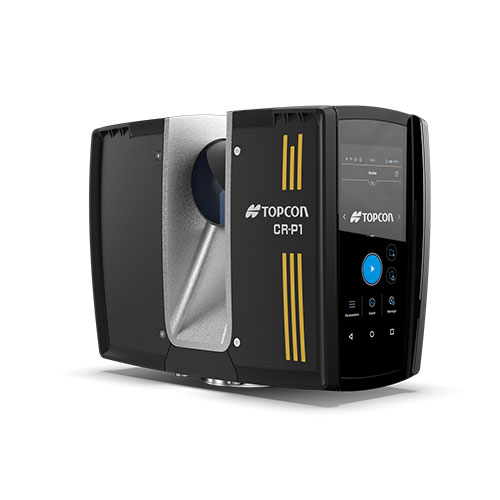
Topcon CR-P1
Compact and lightweight High-performance scanner. Get the best 3D laser scanner for your needs. Our scanning solutions are perfect for construction verification, surveying, and mor
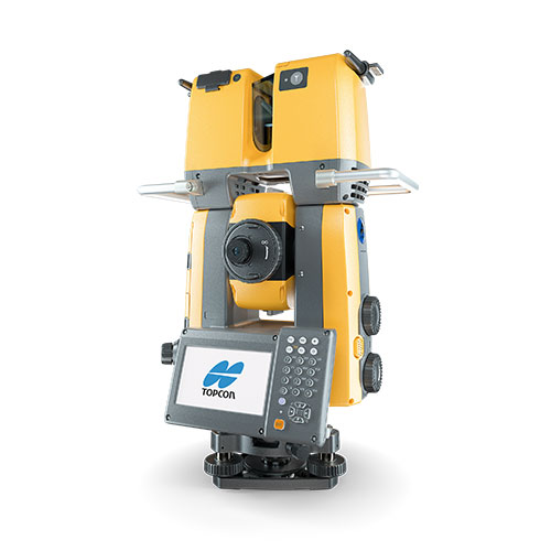
Topcon GTL-1200
Robotic total station with integrated laser scanner. Get the best 3D laser scanner for your needs. Our scanning solutions are perfect for construction verification, surveying, and
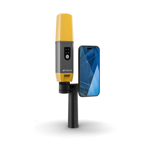
Topcon CR-H1
Hand-Held Mobile Scanner. Get the best 3D laser scanner for your needs. Our scanning solutions are perfect for construction verification, surveying, and more. Boost your productivi
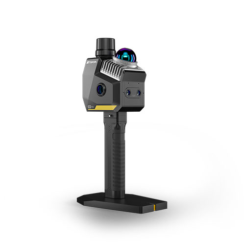
Topcon CR-S2
Hand-Held Scanner with VSLAM technology. Get the best 3D laser scanner for your needs. Our scanning solutions are perfect for construction verification, surveying, and more. Boost