
NavVis System Software
- Model
- System Software
- Category
- Processing and visualisation software
- Solutions
- 3D Scanning and Reality Capture
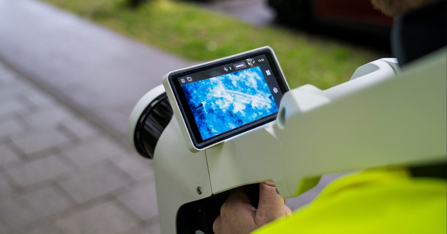
Where intelligence meets performance At the core of every NavVis device is deeply integrated system software that continuously improves reliability, efficiency, and capabilities - delivering performance you can trust, project after project.
Overview
Where intelligence meets performance At the core of every NavVis device is deeply integrated system software that continuously improves reliability, efficiency, and capabilities - delivering performance you can trust, project after project.
Applications: Scan-to-BIM · As-built documentation · Digital twins · Construction progress monitoring · Heritage documentation
Key capabilities
- Introduced HDR imaging for improved panorama quality
- Reduced overexposure in bright areas and improved detail in darker regions
- More natural-looking outdoor imagery in sunny conditions
- Improved automatic and manual triggering for clearer, more consistent image capture
- More resilient camera drivers with improved error handling
- More reliable sensor initialization during device startup
- Smoother installation, update, and recovery workflows
- Improved stability during capture
Technical specifications
Downloads
Solutions
3D Scanning and Reality Capture
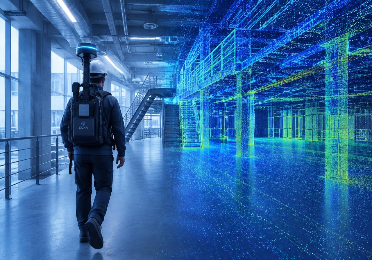
Mobile, handheld and terrestrial scanners that turn real spaces into accurate point clouds.
Related products

NavVis IVION
A platform that transforms reality capture data into clear, collaborative digital spaces that everyone can access, understand, and act on. A platform that transforms high-precisio
Topcon CR-P1
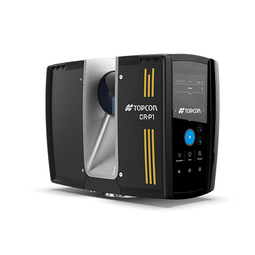
Compact and lightweight High-performance scanner. Get the best 3D laser scanner for your needs. Our scanning solutions are perfect for construction verification, surveying, and mor
Topcon GTL-1200
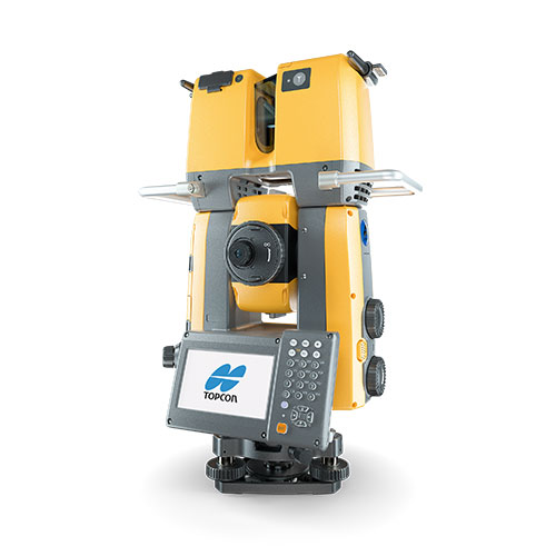
Robotic total station with integrated laser scanner. Get the best 3D laser scanner for your needs. Our scanning solutions are perfect for construction verification, surveying, and
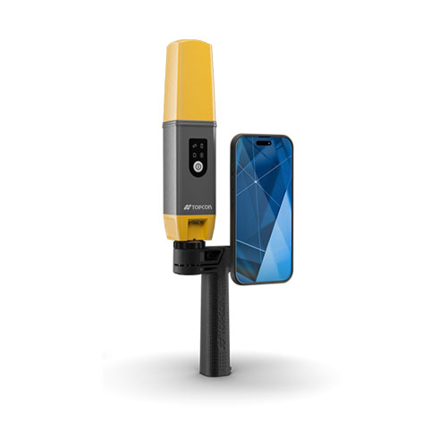
Topcon CR-H1
Hand-Held Mobile Scanner. Get the best 3D laser scanner for your needs. Our scanning solutions are perfect for construction verification, surveying, and more. Boost your productivi