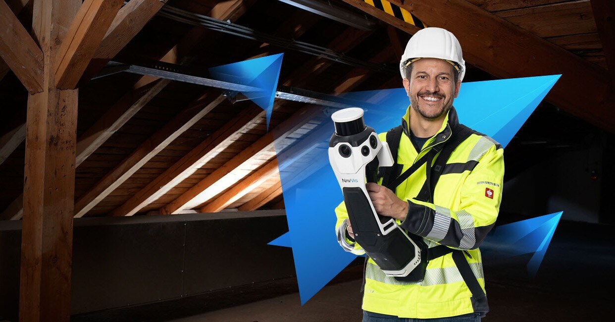
NavVis MLX Handheld Scanner
- Model
- MLX
- Category
- Mobile and handheld scanners
- Solutions
- 3D Scanning and Reality Capture
User-friendly handheld lidar scanning system. Agility meets data quality to enhance AEC and surveying workflows. NavVis MLX combines handheld flexibility with trusted, survey-grade data quality, enabling professionals to confidently take on a broader range of reality capture projects. It delivers the accuracy and reliability required for surveying, Scan-to-BIM, and detailed as-built documentation across a variety of use cases and diverse environments.
Overview
User-friendly handheld lidar scanning system. Agility meets data quality to enhance AEC and surveying workflows. NavVis MLX combines handheld flexibility with trusted, survey-grade data quality, enabling professionals to confidently take on a broader range of reality capture projects. It delivers the accuracy and reliability required for surveying, Scan-to-BIM, and detailed as-built documentation across a variety of use cases and diverse environments.
Applications: Scan-to-BIM · As-built documentation · Digital twins · Construction progress monitoring · Heritage documentation
Key capabilities
- Product brochure (Detailed information about NavVis MLX)
- Data sheet (Detailed technical specifications of NavVis MLX)
- Sample data in .e57 (Power station construction site in Nördlingen, Germany)
Technical specifications
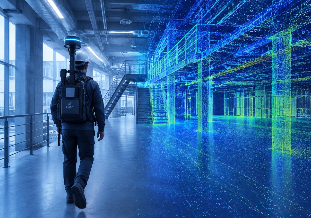
Solutions
3D Scanning and Reality Capture
Mobile, handheld and terrestrial scanners that turn real spaces into accurate point clouds.
Related products
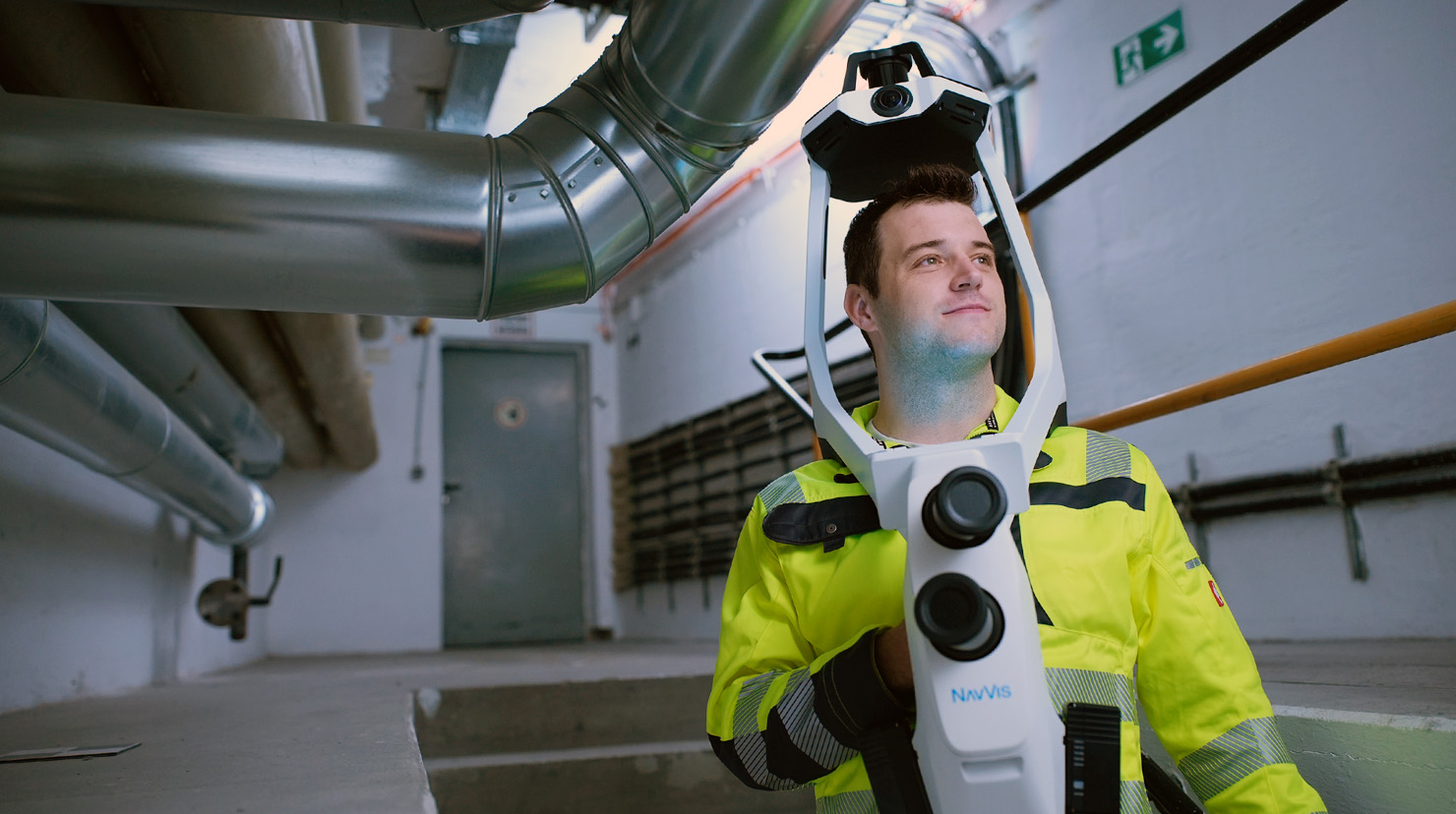
NavVis VLX 4 Wearable Mobile Scanner
NavVis VLX 4 is the first wearable reality capture device built for projects that need high-detail data. NavVis VLX 4 is the first dynamic reality capture device built for project
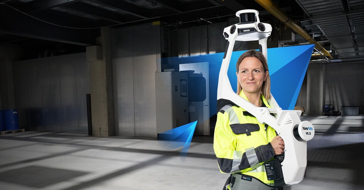
NavVis VLX 3 Wearable Mobile Scanner
Industry-leading wearable lidar scanning system. Complete coverage at speed and superior accuracy for survey-grade data. NavVis VLX 3 is the industry-leading, wearable dynamic sca
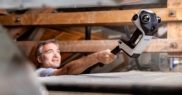
NavVis CLX Compact Scanner
NavVis CLX is an agile, handheld reality capture device purpose-built for high-volume, everyday documentation workflows. An agile, handheld reality capture device purpose-built fo
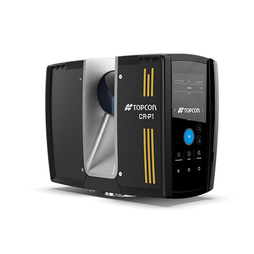
Topcon CR-P1
Compact and lightweight High-performance scanner. Get the best 3D laser scanner for your needs. Our scanning solutions are perfect for construction verification, surveying, and mor